Interactive Maps
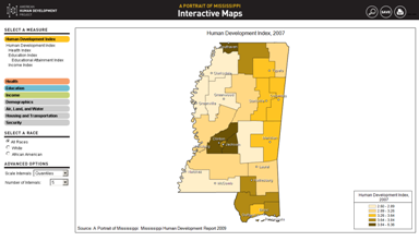
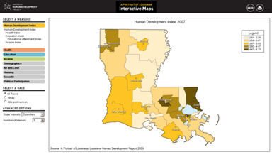
Ever wondered how your state stacks up compared with others on obesity rates, SAT scores, or number of recent army recruits? How does your congressional district fare compared to your neighbors on life expectancy, high school dropout rates, or earnings? Find out with our mapping tool, which allows you to create customized maps by state or congressional district. We’ve also got interactive maps for Mississippi and Louisiana, the sources of two recent case studies on human development at the state level. These maps are customizable by county.
Launch an interactive map of the United States and congressional districts.
To locate your district, click on the ![]() icon.
icon.
Launch interactive map of Mississippi.
Launch interactive map of Louisiana.


